The State Capitol building in Pierre is always an interesting place to visit when in South Dakota; and if you visit on a Saturday, you will probably be one of the few people in the building. During your visit if you need to make a telephone call, this is one of the few places that you can still find a public phone booth.
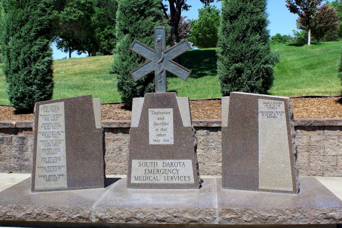
On the Capitol grounds there are various statues and monuments that are worth visiting. Located around Capitol Lake are the Fighting Stallions Memorial, War Monuments, a monument that recognize Purple Heart recipients, and monuments to Law Enforcement Officials, Medical Services Personnel and Firefighters who lost their lives in the line of duty.
Located on a small hill in Fort Pierre overlooking the Missouri River is a monument that marks the place where the Verendryes Party buried a lead tablet in 1743 to claim this part of the country for France. Verendryes was the first European to reach what is now South Dakota.
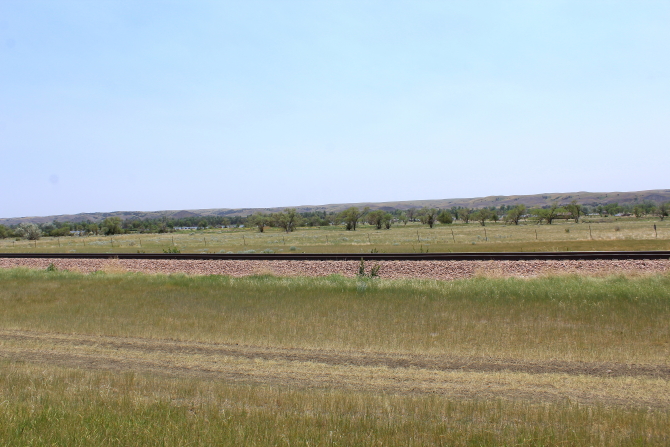
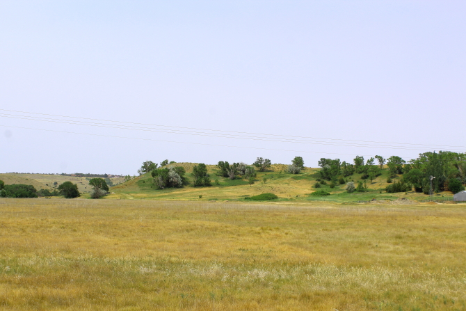
Traveling east from Pierre on State Highway 34, there are numerous monuments and historic sites as the highway follows the River.
Old Fort Sully was located at what is now the entrance to Farm Island. The fort was operational from 1863-1866, at which time the fort was relocated 38 miles upriver. While the fort was occupied, the American Fur Company maintained a trading post on the river bank directly across the River from Farm Island.
In 1933 the Civilian Conservation Corps built a work camp (#SE-207) on Farm Island that was operational until 1937. At this camp, the South Dakota State Division of Forestry supervised the men while they were building various projects in and around Pierre. Many of the improvements that the men constructed are still in use today.
Just a short distance to the east is the Cattleman's Club Steakhouse. Many people do not consider a trip to South Dakota complete until they have had a steak at Cattleman's.


The confluence of the Missouri River and Medicine Knoll River was a popular camping spot by early explorers. On September 22, 1804 Lewis & Clark name the side stream Reuben River for one of their hunters, but in 1839 the Nicollett & Fremont party changed the name to Medicine Knoll River. In 1855, the Lt. G.K. Warren party camped here while they were mapping the area for the Federal Government. Over the years, Medicine Knoll River was the boundary line for various treaties and reservations and in later years it was a stage stop on the Yankton-Fort Pierre stage route.
Continuing on east was the location of the first permanent fur post on the upper Missouri River. In 1802 Registre Loisel and Hugh Heney built a four-room building for living quarters and fur trading. The land was soon to become part of Louisiana. (The land was ceded by Spain to France in 1800 and ceded by France to the United States in 1803.) Lewis and Clark stopped at the post in 1804.
On the drive back to Pierre, we found a historic marker that we missed on our down-river to the fur post site. The marker described an ancient Indian Fortress that was located on a distant hill. Unfortunately, we did not have time to hike up to the fortress.
The historic marker stated that the ruins date back to the 1500s and contain a perimeter of over 2,000 yards, or an enclosed area of about 30 acres. Five thousands people could have been sheltered within its walls. There is also a deep mote around the front of the fortress and bastions along its palisaded walls, so the fortress could have been defended by only 300 warriors. The fortress is considered to be one of the marvels of pre-historic America.
Along Highway 34 there are also displays of "yard art."
CONGRATULATIONS ASHLEY!!!


No comments:
Post a Comment