In 1913 the Hotel San Marcos was constructed adjacent to the town Plaza and it was the first golf resort in Arizona. The hotel is now named the Crowne Plaza San Marcos Hotel.

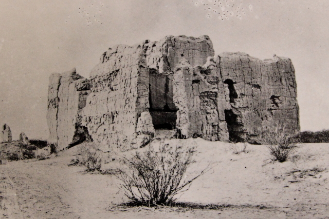
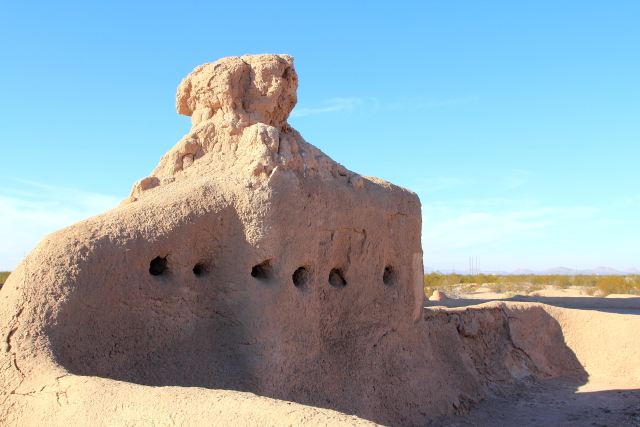
Casa Grande Ruins National Monument is located just south of Candler and is the largest known structure ever built by the Ancestral People of the Sonoran Desert.
The four-story structure was built around 1350 using about 3,000 tons of Caliche, a local concrete-like mixture of clay, sand, and calcium carbonate (limestone). The walls face the four cardinal points of the compass and are four feet thick at the base, narrowing toward the top. It is unclear what the structure was used for, but there is a circular hole in the upper west wall that aligns with the setting sun at the summer solstice and there are other openings that align with the sun and moon at specific times.
When Father Kino arrived in 1694, the building had been abandoned. He referred to the structure as "The Great House" in his recordings, which is a term still used to describe the structure today. When he inquired about the building, he was told that it had been constructed by the Huhugham, which was translated incorrectly as Hohokam.
In 1892, "The Big House" became the nation's first archaeological reserve. Over the years, various covers have been constructed over the ruins to protect the structure from the elements and some reinforcing and new Caliche has been added to stabilize the walls.
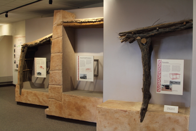
There is a museum onsite that displays artifacts from the Ancestral People of the Sonoran Desert and people from the local reservations still use the site to demonstrate many of the ancient crafts.
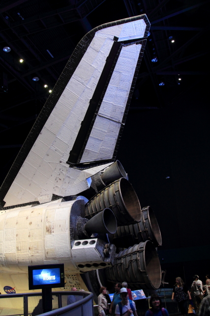
 |
| Photographer Unknown |


Florence is located just east of Casa Grande Ruins and has its own "Big House" - the Arizona State Prison.
Florence is one of the oldest towns in Pinal County and has over 25 buildings listed on the National Register of Historic Places. The first adobe Pinal County Courthouse was constructed in 1882 and also served as the sheriff's office and county jail.
In 1888 a local "vigilance committee" stormed the Sheriff's Office and hanged two men in the jail corridor. A short time later, the "committee" once again tried to storm the Sheriff's office, but this time the jailer armed the prisoners and faced down the mob.
In 1891 a new courthouse was constructed and the original courthouse was converted into a hospital for about 50 years, then served in various other capacities until it was purchased by Ernest W. McFarland in 1974 and donated to the Arizona State Parks Board. The building is now known as McFarland State Park and serves as a museum and visitor center. A portion of the museum is dedicated to the WW II Prisoner of War (POW) Camp that was located just north of town. All of the WW II improvements have been demolished and the site in now a residential subdivision.
Ernest McFarland is the only known American to serve his state in all three branches of government - Governor, U.S. Senator, and Arizona Chief Justice. While serving in the Senate, McFarland drafted bills giving benefits to veterans and he became known as the "Father of the GI Bill."


 |
| WW II POW Camp North of Florence - Photographer Unknown |
Three famous women were tried for crimes in this courthouse - Pearl Hart (Arizona's only woman stagecoach robber), Eva Dugan (only woman hanged in Arizona), and Winnie Ruth Judd (convicted trunk murderess).

The Silver King Hotel was constructed in 1895 and had the "finest dining and ballrooms and saloon in central Arizona and was one of the social focal points and gathering places in the territory. The saloon featured fine whiskies from the East and brandies and wines from Europe. The dining room, along with the usual fare, specialized in fresh lobster brought in by wagon from the Gulf of California in huge oak salt water barrels. Another gourmet delicacy was fresh glazed and stuffed local quail." The building is now used by small businesses.

In 1985 an old-fashioned Coco-Cola sign was painted on the side of the Keating Building for the movie Murphy's Romance, which was filmed in Florence.


Assumption of the Blessed Virgin Mary Catholic Church is considered to be the best example of a Mission Revival style building in Central Arizona.

The Pinal Pioneer Parkway runs from Florence to Tucson and is a beautiful drive any time of the year. There is a monument a few miles south of Florence marking the site where Tom Mix (hero of more than 300 Western films) was killed in a car accident on October 12, 1940.

Just east of Oracle Junction is Biosphere 2, called "one of the 50 must-see wonders of the world" by Time Life Books.
It was late in the afternoon when we arrived at Biosphere 2 and the facility was closed for the day. Therefore, I have included pictures taken on a previous trip when we toured the facility.
Biosphere 2 is an Earth systems science research facility that is currently owned by the University of Arizona. Its mission is to "serve as a center for research, outreach, teaching, and lifelong learning about Earth, its living systems, and its place in the Universe." The facility was originally built to be an artificial, materially closed ecological system, or vivarium, and it remains the largest closed system ever created.