La Madre Mountain Trail is an out-and-back hike that starts at the Red Rock Water Detention Basin on the west side of Las Vegas.
It is not possible to get lost on this hike because the trail follows a ridgeline that divides Las Vegas from Red Rock Canyon NCA. The trail ends at a lookout with a vertical drop-off and a well-worn US Flag that needs replacement.
Located to the east of the trailhead is Red Rock Water Detention Basin, Arroyo Golf Club, and the City of Las Vegas. Located to the west is Red Rock Shooting Range, Calico Basin, and Red Rock Canyon NCA.
The La Madre Mountain Trail is heavily used by all ages, sizes, and shapes of hikers. For a short distance I even followed an elderly lady that had on some of the worst smelling imitation flower perfume that I have ever had to endure. Fortunately, I was able to pass her before I passed out!
This is a nice winter or spring hike and since the weather was nice, it seemed like a great time to make the trip. One of the disadvantages is that during the winter and early spring months the sun is low on the horizon and you have to look into the sun almost all of the way to the lookout turnaround. Because of the sun's low angle from the horizon, taking pictures was really a challenge. Another disadvantage, of course, is the large number of people that use the trail at this time of year. Roundtrip distance to the overlook and back is about three miles.
 |
| Red Rock Water Detention Basin at the trailhead |

 |
| Red Rock Shooting Range |


 |
| View Southeast |
 |
| View East |
 |
| View Northeast |
 |
| View North |
 |
| View Northwest |

HISTORIC BONUS PICTURES
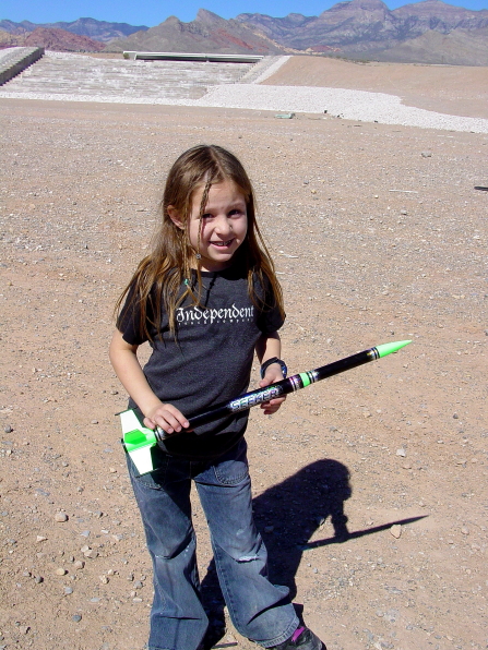
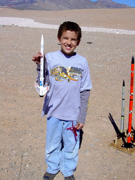
I was a Boy Scout Leader for over 30 years and during that time period I was a Cub Scout leader several times. One of my favorite Cub Scout activities was the Model Rocket Derby.
After the Cub Scouts built their model rockets, we would go out to the Red Rock Water Detention Basin for a rocket launch. Back in that day, the Water Detention Basin was way out away from civilization and vehicles could just drive down into the basin for activities. Now, the basin is surrounded by houses and the road leading into the basin has been closed to all vehicles.
Attached are some pictures of one of our rocket derbies. This particular year we did not have a lot of kids in the Cub Scout Pack, so we let any family member participate that wanted to build a rocket. I tried to take a picture of each person with their rocket and then the launch, but somehow I missed a picture of the first Cub Scout's rocket launch.