
The Bitter Springs Trail Back Country Byway runs between Interstate 15 and Lake Mead Northshore Drive, with the south end of the trail being about four miles north of the turnoff for Cleopatra Wash. (The Byway can also be reached from Bitter Springs Road about 4 miles west of the turnoff for Cleopratra Wash.) Although it is only about 20 miles as the crow flies between the two roads, it is about 30 miles when driving on a mostly single-track dirt trail. A high-clearance four-wheel vehicle is recommended for this trip.
There are many things to see along the way, so this is an all-day trip and many people come back multiple times to see the things that they missed or areas that they want to explore in more detail. On my first visit I started at the north end of the trail (Valley of Fire Exit off of Interstate 15) and when I came to an unmarked junction in the trail, I turned right when I should have turned left, and missed traveling on half of the byway.
I later made the entire trip with a geologist from the U.S. Borax Boron Mine (now Rio Tinto Boron Mine) located near Boron, California (about 35 miles west of Barstow). U.S. Borax owned patented mining claims on mineral deposits along the Byway that had been worked decades ago but were now becoming more of a liability than an asset. There were old structures and pits on the site and people were known to trespass and explore the private property.
The current Rio Tinto Boron Mine in Boron is the largest open-pit mine in California and the largest borax mine in the world, producing nearly half of the world's borates. The geologist I was traveling with estimated that they would be mining at the Boron facility for at least another 75 years, so they were were interested in selling the Bitter Springs mining claims. At the time, the Bureau of Land Management (BLM) had funds available from the sale of lands as part of the Southern Nevada Public Lands Management Act (SNPLMA), and since this was an inholding of private lands surrounded by Federal Lands, BLM agreed to purchase the lands if U.S. Borax would clean up the facility and fill in some of the pits, which they did and the sale was consummated. When driving on the Byway it is still possible to see the old mine site.


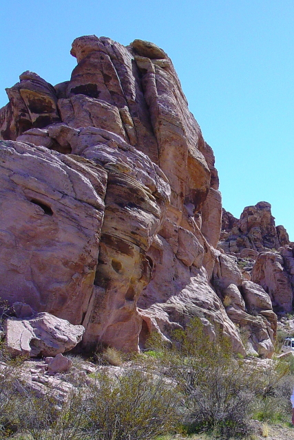
During the winter and spring months of the year there are always a number of wild flowers and blooming plants along the Byway.


BONUS PICTURE

The arch should be called Ronnie's Arch. How do we get it named? :)
ReplyDeleteThe patterns on the rocks are pretty cool too.