


The hiking trail to Bridge Mountain starts from the summit of Rocky Gap Road (guess how it got its name) in the Spring Mountains. The Road is reached from the Scenic Drive in Red Rock Canyon NCA. Turn off of the Scenic Drive at the sign for the Willow Spring Picnic Area and then travel about 0.5 miles to the end of the pavement, which is the start of Rocky Gap Road.
To reach the Bridge Mountain Trailhead, travel the Rocky Gap Road from the Willow Spring Picnic Area to the top of the hill on a 5-mile narrow, crooked, rough, nasty, non-maintained trail called a "road." No one should attempt this outing without a high-clearance four-wheel-drive vehicle - and then there is a high probability that before you arrive home some part of your vehicle will have hit a protruding rock. The Bureau of Land Management (BLM) does not even list this hike in their hiking guide. However, with that said, this is one hike that everyone who lives in southern Nevada should put on their bucket list to do at least one time. (Pictures are from a hike we did several years ago.)
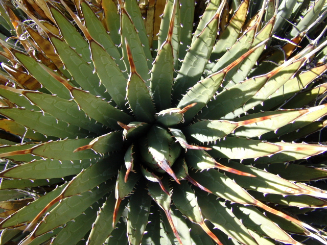
The trailhead starts near the summit of Rock Gap Road before the road descends into Lovell Canyon to the west. The first part of the trail is well marked and easy to follow as it winds through the various species of pine trees, desert shrubs, and agave plants.
To reach the Bridge Mountain Trailhead, travel the Rocky Gap Road from the Willow Spring Picnic Area to the top of the hill on a 5-mile narrow, crooked, rough, nasty, non-maintained trail called a "road." No one should attempt this outing without a high-clearance four-wheel-drive vehicle - and then there is a high probability that before you arrive home some part of your vehicle will have hit a protruding rock. The Bureau of Land Management (BLM) does not even list this hike in their hiking guide. However, with that said, this is one hike that everyone who lives in southern Nevada should put on their bucket list to do at least one time. (Pictures are from a hike we did several years ago.)
The trailhead starts near the summit of Rock Gap Road before the road descends into Lovell Canyon to the west. The first part of the trail is well marked and easy to follow as it winds through the various species of pine trees, desert shrubs, and agave plants.


But soon, the bulk of vegetation disappears and it becomes difficult to follow the trail - that is because there is no trail - just rocks to scramble over. The weather is really harsh at this altitude and due to a lack of soil, most plants can never get started or survive. Surprisingly, there are number of large tinajas along the way that contained some stagnate looking water. Then, finally, the natural bridge is reached.


Most people that have any brains quit here and go back to their vehicle; but, since it didn't look like it was too far, we decided to continue on to the top of the mountain. As it turned out, the assent was steeper than it looked and in several places there were only small cracks and rough rocks for handholds. (Due to the strong winds near the top of the mountain, the trees see the rocks for leaning post.)


From the top of the mountain it is possible to see the La Madre Mountain Range to the north, the Pine Mountains in Utah to the east, the Grand Wash Cliffs (edge of the Grand Canyon) to the southeast, and the Hualapai Mountains near Kingman (Arizona) to the South, and various California Mountains to the west.


On the way back to our vehicle it was harder going down some of the inclines than it was coming up. We did, howerver, all make it back to the vehicle and home safely!
No comments:
Post a Comment