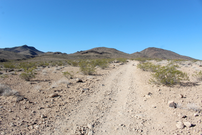
Eleven years ago we did a "thru-hike" at Sloan Canyon National Conservation Area by having drivers with four-wheel-drive vehicles drop us off at the south side of the canyon and then drive around and pick us up at the north side later in the day. In the eleven years since our "thru-hike" there has been tremendous growth along the north side of the Conservation Area and residential houses have been constructed right up to the boundary line. The old 4-wheel-dirve trail has now been replaced with a paved road that runs to a parking lot and a temporary Conservation Area office trailer at the north side of the canyon. From the office trailer, the old vehicle trail is used as a hiking trail to the canyon entrance. Unfortunately, with population growth also comes vandalism, and several several areas in the canyon have been damaged.
I wanted to see the area changes that have occurred over the past eleven years, so we started our hike at the temporary office trailer. While visiting with other hikers we were warned that two rattlesnakes had been seen on the trail earlier in the morning. We did not encounter any rattlesnakes, but we did see a lot of lizards, including a Horned Lizard.
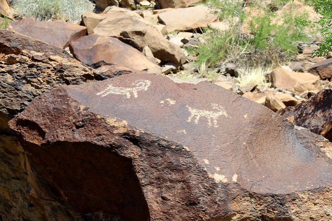
The left Desert Bighorn Sheep petroglyph is very will known because it is used in a number of Department of Interior publications.
During my last visit, there were two "turtlehead" rock formations, but apparently one has been destroyed.
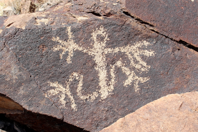
Sloan Canyon contains a large number of petroglyphs and the canyon is often referred to as the "Sistine Chapel of Native American Rock Art." There are over 300 rock art panels containing over 1,700 individual elements from the Archaic period (8000-1000 BC) and other historic eras.
When I was working at the Department of Interior, we were able to sell a large parcel of federal land that was outside of the conservation area and the funds were put into an account that could only be used for Sloan Canyon. While visiting with a BLM employee at the office trailer, we learned that the funds are still in the account and will be used to build a new visitor center in the near future.
Most people hike up the canyon to the end of the petroglyphs and then turn around and return by the same route. We decided, however, to continue up the canyon until it connected to Cowboy Trail. Cowboy Trail makes a loop around the west side of the canon and then reenters the canyon near the boundary with the North McCullough Wilderness Area.
From a saddle in Cowboy Trail, there are nice views of Henderson; and from this point on it is all downhill back to the parking lot.


No comments:
Post a Comment