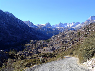
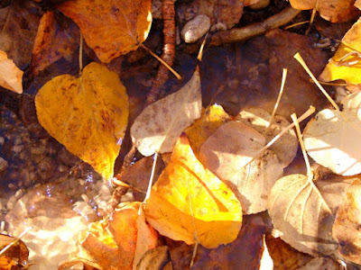
In the fall of 2005 we decided to taka a trip to the east side of the Sierra Nevada Mountain Range to see the fall colors. Although not shown on most maps, there is a shortcut dirt road that cuts across the north part of Death Valley and connects to Bishop, California. Since we had never been to this part of Death Valley, we decided to take the dirt road rather than the paved highway that is a considerably longer drive.
Our first stop was Ubehebe Crater in Death Valley. The Crater was formed when magma came up near the earth's surface and flashed groundwater into steam. The steam expanded so fast that it caused a large explosion, creating the Crater. According to printed literature, this type of explosion is called a hydrovolcanic or phreatic eruption.
There is nice a hiking trail that follows the Carter rim, so I followed it to a higher point where I could take pictures of the Crater from different angles.
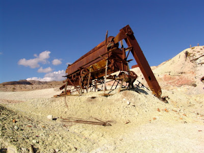
After passing through Crankshaft Junction (No improvements - just a junction of two dirt roads.) we followed a trail to an old Sulphur Mine where historic mining equipment was still scattered about the area.
After leaving Death Valley, the dirt road joins US Highway 385 at Big Pine, just south of Bishop. This is the east side of Kings Canyon National Park, so there are no highways that cross the Sierra Nevada Mountain Range in this area. We stayed in Bishop and just did some day trips to see the fall colors.
One day we drove up to Schulman Grove to see the Ancient Bristlecone Pine Forest. There are several hiking trails in the area; but not being acclimated to the high altitude (over 10,000 feet), we just did the one-mile Discovery Loop Trail.
While we were visiting with a Ranger in the Visitor Center, he told us that for years there was some debate which tree on the mountain was the oldest. It was always thought that the oldest tree was on the south side of the mountain because the trees were taller and looked healthier. However, after some core samples were taken, they realized that the trees on the north side, even though smaller and not as healthy looking, were actually older. They concluded that due the harsher weather conditions on the north side, the trees did not grow as tall and they had to be healthier to survive. He went on to tell us that they finally found a tree on the north side that they concluded to be the oldest, then a graduate student working on a research paper from one of the Eastern Universities cut the tree down so he could count the rings to establish the tree's age. Forest Service Rangers were not happy about that action. The current Methuselah Tree is somewhere on the north side of the mountain, but it is not marked because they do not want people damaging the tree. Although many of the Bristlecone Pine trees look dead, they are really alive but have few green branches.


The altitude at Bishop is only about 4,100 feet, so it was more enjoyable hiking in the forest.
The historic Mount Whitney Fish Hatchery was constructed in 1916 to preserve the Golden Trout species, California's State Fish. The walls of the building are made from native granite that was quarried near the site and are two-three feet thick.
When the hatchery first opened, fish eggs were collected from Rae and Cottonweed Lakes and transported to the facility by mule train.
Before returning home we stopped by Manzanar National Historic Site, where over 120,000 Japanese Americans were incarcerated during World War II.


No comments:
Post a Comment