The
Crystal Wash Rock Art site is actually a network of several interrelated
petroglyph sites with many different designs at each site. The sites are
located along the north side of U.S. Highway 93 about 3 miles east of Nevada
State Route 318, in Lincoln County, or about 38 miles west of Caliente.
The
sites are easy to find because there are mile markers along U.S. Highway 93. Traveling
east toward Caliente, about 0.2 miles past highway mile marker 54, park on the
graded area on the right (south) side of the road and walk north across the
highway toward a fence and two white painted boulders. After crossing the
fence, continue walking north toward a large wash (about 200-300 feet). There
is a BLM information box located on the edge of the wash that should contain
maps describing the trail to the petroglyphs and information on the various petroglyph
panels. In the event that there are no maps in the information box, follow the
wash northeast for about 0.2 miles and watch for numbered markers on both sides
of the wash. This area is called the “Entrance Site.”
Sites
5 and 6 (located on the right side of the wash as you are walking north) are
very interesting. Site 5 is a boulder with a hole through it and the roof of
the hole has been painted with red ochre, a pigment made from iron oxide. The
significance of the painted roof is unknown because there are no other designs
on the rock.
Site
6 is a petroglyph panel depicting zoomorphs (mountain sheep and other
quadrupeds) and anthropomorph (people). It is also the panel that is
illustrated on the front of the trail brochure.

To
find the “Main Site,” go back to the highway and continue an additional 0.8
miles on U.S. Highway 93 toward Caliente. At Mile marker 55, turn north and go
through a gate. Stay left (do not follow the trail that parallels the highway)
for 0.1 miles and then turn right for about 0.5 miles to the end of the road.
There is a BLM information box on the right side of the parking area with trail
maps and approximate locations of the petroglyph panels.
If
there are no maps in the box, follow the wash southwest (downstream) for about
0.2 miles and watch for numbered markers. Marker #2 starts on the south (left) side
of the first large rock with petroglyph panels and the trail then makes a
clockwise loop through the rock maze, arriving back in the wash just upstream
from trail marker #2. If you cannot see the next numbered marker, watch for the
many rock cairns that have been erected along the route.
Site
8 is the panel illustrated on the front of the trail brochure. If you visit
these sites, remember to take nothing but pictures and leave nothing but
footprints!
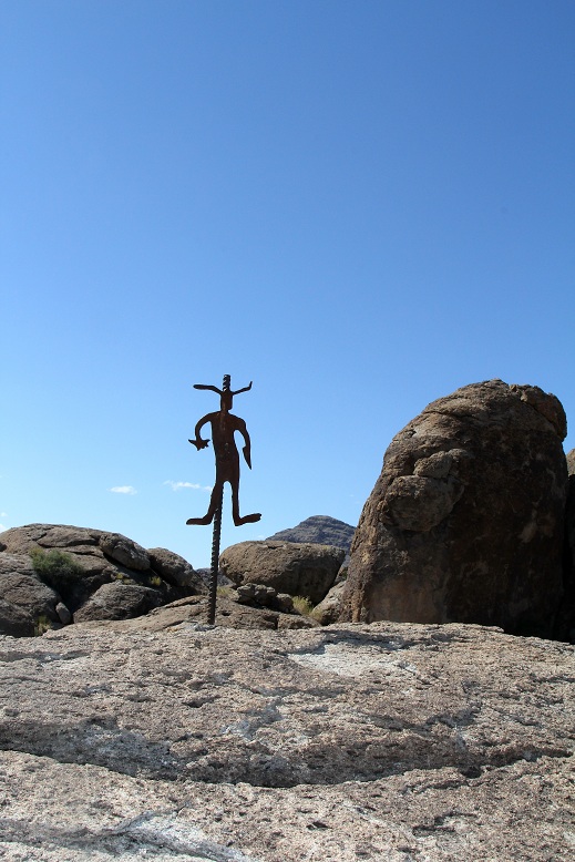
Trail Marker at Main Site

Main Site Petroglyph Panel

Main Site Petroglyph Panel

Main Site Petroglyph Panel

Main Site Petroglyph Panel

Main Site Petroglyph Panel
No comments:
Post a Comment