
All I can say is that who ever named Fortification Hill, never climbed the "Hill." A better name for this landmark might have been "Fortification Mountain," or "Misery Hill."
Sometimes I think that I may be getting a little senile becaue I made this hike twice - once in 2007 and once in 2017. However, the 2017 hike was significantly more difficult. Apparently, between the two hikes the earth's crust went through some type of an upheaval and added significant height and distance to the "Hill." Plus, due to global warming, I thought that I was going to expired from heat exhaustion on the most recent hike. Anyway, at the end of the day my conclusion was that twice up Fortification Hill was once too often! Be assured that the Fortification Hill hike will not ever be repeated in another RonnieAdventure!
To reach the Fortification Hill trailhead, we traveled south about one mile from Hoover Dam on U.S. Highway 93 to the Kingman Wash Road, which is a good place to check the suspension system on your vehicle -- at least the parts that are still attached when you reach the end of the road. (Anyone that has driven on washboard dirt roads will know what I'm talking about!)
Kingman Wash Road ends at a small cove on shoreline of Lake Mead, which is reported to be a popular fishing spot. We were not there for the fishing; however, much to our surprise, just before we reached the end of the road we found several rare Bear Poppy plants in bloom.


From the end of Kingman Wash Road, it is about another 2.5 miles of unmaintained 4 X 4 road to the Fortification Hill Trailhead; but the road was in good condition and 4-WD was not required


From the trailhead there are two different trails that can be followed part of the way to the face of Fortification Hill - one trail stays in the wash while the other trail goes immediately up to the ridgeline. The trail that stays in the wash was reported to be the easier trail, so we started in the wash.
After about a mile of steady climbing, the two trails come together near a place called "Funny Rocks." The rocks received their name because they are the only similar cluster of rocks on the trail and appear to have been placed there by humans, which is doubtful, rather than by nature. The rocks just appear to be "funny" when compared to the surrounding landscape.


From Funny Rocks the trail becomes quite steep all of the way to a vertical basalt cliff. The trail then parallels the base of the cliff until it reaches an area that required some Class 3 climbing, but we were able to negotiate the climb without any technical equipment.


 |
| 2007 Hike Picture |

Once over the Class 3 climb, the mesa is quite flat and it is less than 3/4 of a mile walk to the summit.


Views from the summit were spectacular in all directions. Although a little hazy, the views of Hoover Dam, Las Vegas, and snow-capped Mount Charleston were especially nice.


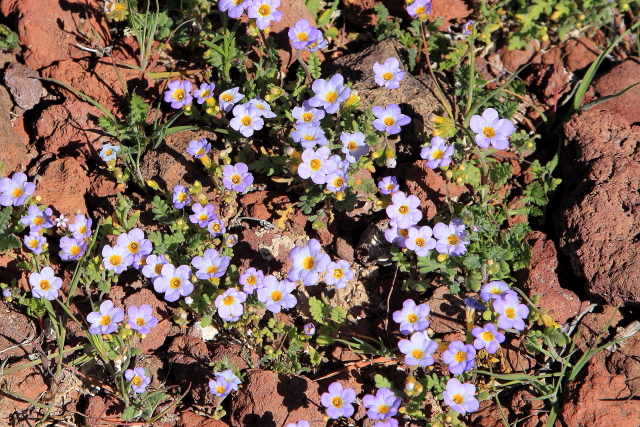
On the way back to the trailhead, at the Funny Rocks junction, I decided to follow the ridgeline trail rather than returning by way of the wash. It was more strenuous, but the wildflowers along the trail made the extra effort worthwhile.


Although we did not see any Desert Big Horned Sheep on this hike, the last time I made the trip we encountered several sheep along the way.


No comments:
Post a Comment