
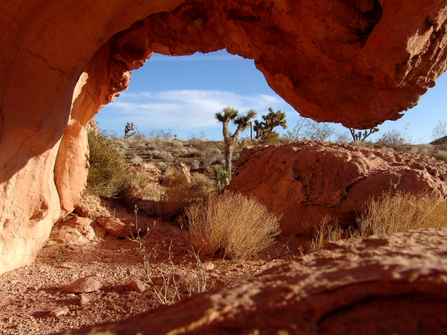
Gold Butte is Nevada's newest National Monument and covers about 300,000 acres of remote mountains and desert lands that contain a variety of sandstone sculptures and rock art. The Monument is located on the eastern side of Nevada, north of the Colorado River and adjacent to the Arizona boarder. Virgin Peak (shown above) is near the northeast corner of the Monument.
Before becoming a National Monument, most people outside of Nevada only knew of Gold Butte from television as the scene of the 2014 armed standoff dispute between rancher Calvin Bundy and the Bureau of Land Management (BLM).
In the 1800s the Bundy family homesteaded land in the Gold Butte area and over the years their cattle migrated over a much larger area then they owned. When the BLM wanted to collect fees from the Bundys for grazing cattle on public lands, and the Bundys refused to pay the fees (for 20 years), BLM decided to round up the Bundy cattle and place the cattle in holding pens. Obviously, things did not work out too well and several cattle died before BLM even got a good start on the roundup. The BLM, fearing trouble from the Bundy family, then brought in a number of armed forces; so the Bundy Family and a number of friends and volunteers also armed themselves. Fortunately, BLM released the captured cattle and everyone decided to call it a stalemate before anyone was killed. Who knows what will happen in the future.
I have not been to the Gold Butte area since it was designated a National Monument on December 28, 2016; however, over the years I have visited the area on several occasions.
New Gold Butte Road is paved from Interstate-15 to Whitney Pocket, but then the pavement ends and the road is graded dirt to the old Gold Butte townsite. After the townsite, the road is unmaintained, as are all of the other roads in the monument. I would highly recommend a high-clearance 4-wheel drive vehicle equipped with a full tank of gas and two spare tires for traveling on the unmaintained roads.
Gold was first discovered in the Gold Butte area in the 1880s, but active mining did not occur until about 1905. The town of Gold Butte was founded in 1908; but then after extracting a total gold production of only $75,000, the mines closed in 1910 and Gold Butte became a ghost town. All that remains at the site are some old foundations, two graves, and several mine shafts.
Most people that want to make a loop by traveling the un-maintained roads typically start at Whitney Pocket and travel in a counterclockwise direction, eventually ending up at the old Gold Butte townsite and then returning to Whitney pocket on New Gold Butte Road.


The first stop is Devil's Throat, which is a large sinkhole that is about 100 feet in diameter and 125 feet deep. I was told that the sinkhole is fairly recent (within the last one hundred years) and that two people in the area actually saw the plume of dust go up when the ground caved in.


There is an old cattle pen and chute several miles to the west that makes a nice photo stop.


Some of the most popular rock art panels are located adjacent to the road on the way to Kirk's Grotto.


"Little Finland" is located in this same general area. I do not know why the area is called "Little Finland." I have never been to Finland, but this is not my expectation of what Finland looks like.


Kirk's Grotto is probably one of the main attractions in gold Butte because it contains a number of slot canyons and rock art panels.


If you continue down Gold Butte Wash Road to the old Gold Butte Townsite, the narrow, rocky road passes the trailhead to Lime Canyon Wilderness Area. However, rather than continuing down the road, many visitors turnaround at Kirk's Grotto and go back to Whitney Pocket -- it is much easier on your vehicle and on tires.


No comments:
Post a Comment