Mist Falls is a popular day hike because it is less than 10 miles (round-trip) from where the road ends. Since we were on a limited time schedule, we decided that this would be a great outing.
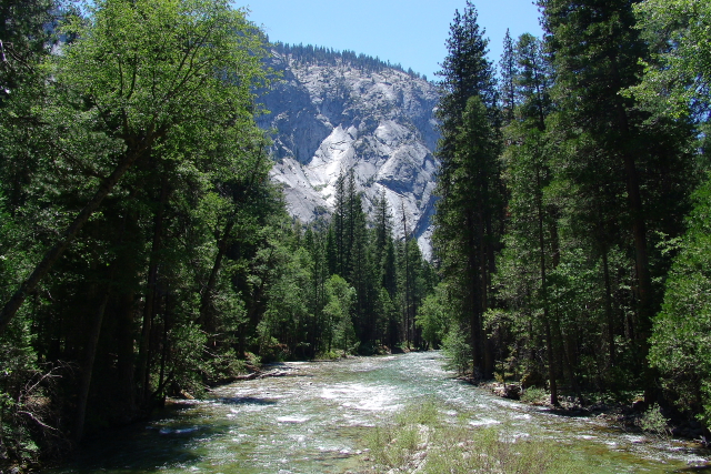
For the first half of the trip there are well maintained trails on both sides of the Kings River, but at Bubbs Creek the trail on the south side of the river ends and a bridge provides access to the north-side trail. For the more adventurous hikers, there are log crossings across some of the creeks.
Before reaching the falls, one hears the roar of the water and sees mist rising up on the horizon. I wanted to keep my camera dry, so I did not want to get too close to the falls, but I did manage to talk Kolohe into putting on a rain jacket and standing in the mist so that I could take a picture.


The butterflies seemed to like the vegetation around the falls and we observed a number of different butterflies as we were hiking along the trail.


Before leaving Kings Canyon we made some short hikes to both Roaring River Falls and Grizzly Falls.


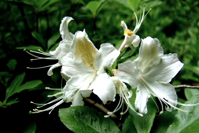
The plant species are similar in both Sequoia and Kings Canyon National Parks, so I combined all of the flora pictures taken on this part of the trip into the following group of pictures.


No comments:
Post a Comment